Super Typhoon Nando passes close to Babuyan Islands under Signal No. 5
The state weather bureau PAGASA said Monday afternoon that life-threatening conditions still persist over the northern portion of northern Luzon as Super Typhoon Nando passed very close to Babuyan Islands.
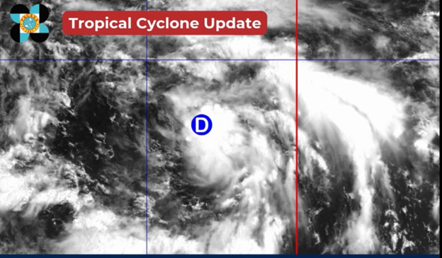
As of 2 p.m., the center of the super typhoon was monitored over the coastal waters of Babuyan Islands in Calayan, Cagayan. It is moving westward at 25 kilometers per hour, with maximum sustained winds of 215 kph near the center and gustiness of up to 295 kph.
Tropical Cyclone Wind Signal (TCWS) No. 5 remains up over Babuyan Islands.
Further, the following TWCS are hoisted over the these areas:
Signal No. 4
- The southern portion of Batanes (Basco, Mahatao, Ivana, Uyugan, Sabtang)
- the northern portion of mainland Cagayan (Santa Ana, Santa Praxedes, Claveria, Sanchez-Mira, Pamplona, Abulug, Ballesteros, Aparri, Buguey, Santa Teresita, Gonzaga, Camalaniugan)
- the northern portion of Ilocos Norte (Pagudpud, Burgos, Bangui, Dumalneg, Adams)
Signal No. 3
- The rest of Batanes, the central portion of mainland Cagayan (Lal-Lo, Gattaran, Baggao, Alcala, Santo Niño, Lasam, Allacapan, Rizal, Amulung, Piat)
- the northern and central portions of Apayao (Flora, Santa Marcela, Pudtol, Luna, Calanasan, Kabugao)
- the rest of Ilocos Norte
Signal No. 2
- The rest of mainland Cagayan
- Isabela
- the rest of Apayao
- Abra
- Kalinga
- Mountain Province
- Ifugao
- the northern portion of Benguet (Mankayan, Buguias, Bakun, Kibungan)
- the northeastern portion of Nueva Vizcaya (Diadi)
- Ilocos Sur
- the northern portion of La Union (Sudipen, Bangar, Luna, Balaoan, Santol)
Signal No. 1
- Quirino
- the rest of Nueva Vizcaya
- the rest of Benguet
- the rest of La Union
- Pangasinan
- Aurora
- Nueva Ecija
- Bulacan
- Tarlac
- Pampanga
- Zambales
- the northern portion of Quezon (General Nakar) including Polillo Islands
In a separate advisory, PAGASA said that a high risk of life-threatening storm surge may occur within the next 24 hours in the areas mentioned below:
- Estimated storm surge heights of over 3 meters: Batanes, Cagayan, Ilocos Norte
- Estimated storm surge heights of 2.1 to 3 meters: Cagayan, Ilocos Norte, Ilocos Sur
- Estimated storm surge heights of 1 to 2 meters: Cagayan, Ilocos Sur
PAGASA advised residents in the said areas to stay away from the coast or beach; cancel all marine activities; and follow weather updates.
The state weather bureau said that Nando may exit the Philippine Area of Responsibility on Tuesday morning, September 23.